Rain
PROPERTY > RESIDENTIAL > Location > Rain
| This index represents the long-term precipitation conditions of the property’s location, where “1” indicates lower annual rainfall and “3” indicates higher yearly precipitation levels. |
🌧️ Rainfall Index
Topic: Property | Category: Residential | Group: Climate & Environment
Description
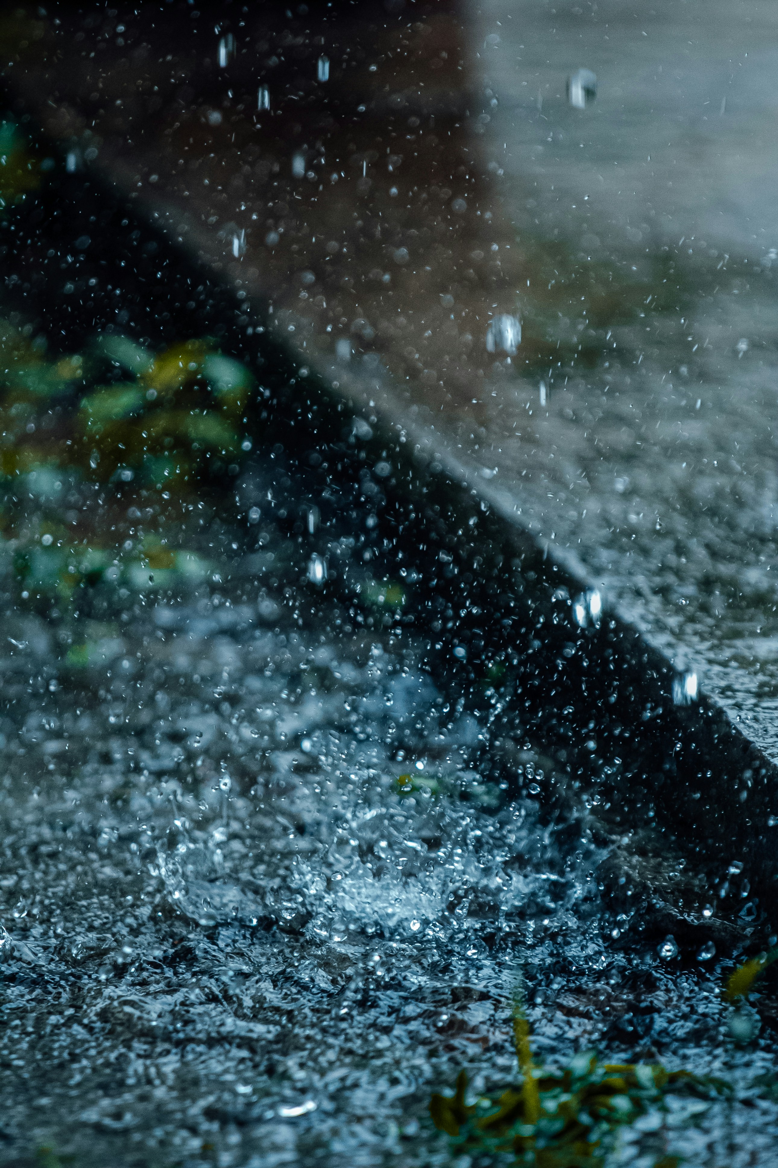
The Rainfall Index describes the long-term annual precipitation levels of the property’s surrounding climate region.
What the Index Measures
This index measures the realistic long-term annual rainfall average (in millimeters) for the property location, converted into an intuitive score.
Higher scores = wetter climate conditions
Lower scores = drier climate conditions
Rainfall levels can influence landscaping, flood exposure, humidity, vegetation, water availability, and overall lifestyle depending on the geographic area.
Numeric Scale & Quality Interpretation
Same scale structure.
Examples:
18/20 = high annual rainfall region
9/20 = moderate precipitation levels
2/20 = relatively dry climate zone
Accuracy: Higher scales (1–99, 1–999,999) reflect more precise precipitation differences meaningful for climate analysis, flood awareness, agricultural conditions, and environmental comfort.
Why Numeric Scales Matter
Rainfall affects climate comfort, outdoor living, maintenance needs, drainage considerations, and seasonal weather patterns. Numeric scales help standardize precipitation comparisons between different regions.
How This Index Saves You Time
No need to manually analyze climate charts or weather databases—one score quickly summarizes the property’s long-term rainfall conditions.
AI Insight Example
“This property is located in an area with above-average annual rainfall compared to nearby residential regions.”
Subscription Callout
Higher tiers unlock more detailed precipitation distinctions and advanced regional climate analytics.